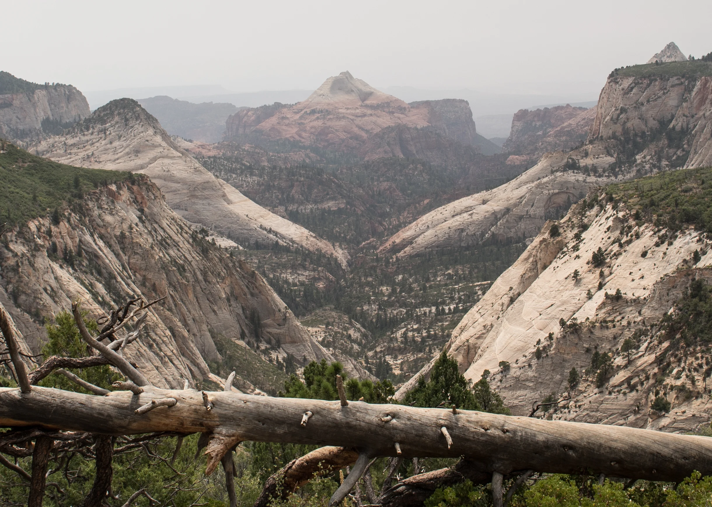
I’ve been fortunate enough to make multiple trips to Zion National Park but haven’t been able to explore a whole lot of the park by foot. I always end up going with different people and always end up hiking Angels Landing (I think three times now) and maybe one other shorter trail during our quick stays. The guys over at Outdoor Vitals had permits to backpack the West Rim Trail (top-bottom) and were gracious enough to invite me along and I knew I had to make to the nine hour drive down to join them.
Read MoreThis August (2018) was probably my busiest month for adventure travel ever. I had plans to be out of town every single weekend and backpacking on every trip, and backpacking up Mount Whitney was the first trip to kick off the wild month.
Read MoreSo, you want to get into camping but don't know where to start. A good place would be your bedroom. You're going to need a place to sleep out in the wilderness, and it doesn't have to break the bank. It's way more likely that you'll stick to "car camping" (driving right up to a campsite) than backpacking (hiking into the wilderness carrying all your gear on your shoulders), so you don't need a super small or ultralight tent when starting out. In fact, I would suggest getting a bigger tent just so you have plenty of room and are comfortable starting out. However, if you really want to take the plunge and invest in this new camping hobby of yours, you'll have much more versatility with an ultralight backpacking tent.
Read MoreDrive down to the Dunes from Denver in the early morning. Get an overnight permit at the Visitor Center, hike up to the summit of High Dune, hike to the summit of Star Dune, then head north until I either (1) get tired or sick of hiking, or (2) find a decent flat area to camp with amazing views of the dunes and mountains. Hike out in the morning either during or after sunrise. Take the long way home to stop and take a dip in Valley View Hot Springs to rinse and relax before the long drive home.
Read MoreThe Alderfer/Three Sisters Park is a 1,127 acre open space in Jefferson County containing 15.3 miles of trails for hiking, mountain biking, and horseback riding. Most of the trails in the park are rated as easy or moderate with only a small section of a difficult trail. One of the most appealing features of the park is the abundance of connecting trails allowing you to map out your own hike at virtually whatever distance and difficulty you desire.
Read MoreThere are three main routes to Devil's Bridge Trailhead. (map pictured). The most popular two are accessible from the paved parking lot at the Dry Creek Vista Trailhead. The other is from the dirt shoulder parking area at the Mescal Trailhead. The Dry Creek Vista is the only paved lot and only lot with restrooms. None of the lots offer running water so make sure you bring enough water!
Read MoreTom’s Thumb is a heavily trafficked out-and-back hike located within the Scottsdale McDowell Sonoran Preserve that is accessible between sunrise and sunset.
Read MoreThank you so much for stopping by and checking out the site. It's not much of anything yet, and it will take time before it evolves into what I want it to be. But you've managed to find yourself here either by chance or because you have the slightest interest in what I'm up to, and for that, I can't thank you enough.
Read MoreYou must obtain an overnight permit if you are planning on camping up on Glacier Point. You can pick one up at the Badger Pass Ranger Station located at Yosemite Ski & Snowboard Area. When you arrive, they have a few 15-minute parking spots out front that are perfect to run in and get permits. You must go to the ranger station located in the A-Frame building right of the chairlifts. Just walk out onto the snow toward the chairlifts, look to your right, and you can't miss it. The rangers can answer any questions you have, and will provide you with an overnight camping permit, a parking pass to leave on your dashboard, and they'll direct you to the overnight parking spaces around the corner.
Read More


